Blog entry by Bruce McPherson
For years, decreasing fuel tax revenues have required state transportation departments and the contractors they partner with to find new and inventive ways to do more with less.
But welcome to the world of construction, right?!
AASHTO estimates a $37 billion decrease in state DOT revenue between 2020 and the end of 2024.
So what are DOTs, contractors, and consultants to do?
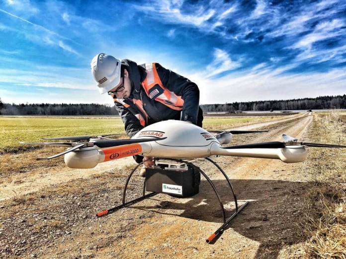
Advances in Unmanned Aerial Systems (UAS) have provided several opportunities for doing more with less.

Good, Fast, Cheap, but not all 3… Unless you’re talking about drones.
There’s an old adage that often gets associated with the world of construction…
‘You can have something done well, you can have it done fast, or you can it done cheaper than the next guy — but you can only pick two.’
With the skillful use of drones however – DOTs, contractors, consultants, and surveyors especially – all three advantages can be had.
High ROI Drone Use Cases
Roadway Mapping: Survey costs can be cut by as much as 85% by using drone enabled photogrammetry instead of terrestrial scanning.
What’s more are the economies of scale afforded by UAS supported surveys. The labor saved by making use of drones becomes exponentially greater as the project gets larger.
For example, if a 1.5 mile mapping project that requires roughly 40 labor hours from a UAS supported survey crew were to grow by 5x, the larger project wouldn’t require 200 labor hours. A similarly scoped project 8 miles long might only require 70 hours to complete with the use of drones.
Now, photogrammetry isn’t always a complete substitute for terrestrial scanning, but drone enabled LiDAR often can be. Project scope and needs will always be the deciding factor.
Measuring Quantities: West Virginia’s Department of Transportation found that survey crews could calculate stockpile quantities with 90% less labor when using drones.
Such a task used to require more than 40 surveyors over 2 weeks (3,200 labor hours). The same work can now be done by 7 people in just 1 week (240 labor hours).
Similar labor savings can be seen by civil contractors looking to calculate quantities before, during, and after earthwork operations.
Not only is the data collection more efficient, but the point cloud and surface models generated afford the contractor to make more accurate calculations.
Bridge Inspections: UAS enabled bridge inspections require 80% less labor, than inspections performed by snooper trucks.
A bridge inspection that might normally require 6 people and 48 labor hours using a snooper truck can be done in 4 hours by 2 people (8 labor hours).
Not only does this provide savings to the DOT or the consultants contracted to perform these inspections, but there are additional savings associated with the supporting operations like traffic control and the economic cost associated with disrupting the public’s use of the asset.
These UAS enabled inspections also provide a more thorough record of the asset’s condition at the time of inspection by way of the uniform capture patterns made possible by the UAS flight planning software.
Skynetwest | Mapping & Inspection Data Collection
Skynetwest is a team of qualified data retrieval specialists, experienced in capturing data to support the efforts of registered land surveyors and engineers.
Have Questions?
Call or text Brendan Alan Barrett at 281-857-6543
By PRESS