Blog entry by Bruce McPherson

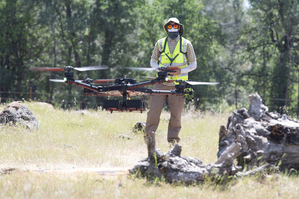
Helping make the battle against wildfires faster, safer, and more targeted, a NASA project recently tested its tools in a realistic wildland firefighting exercise. The Scalable Traffic Management for Emergency Response Operations project, or STEReO, aims to create a system that can be deployed during emergencies to coordinate multiple elements of disaster response. These may include aircraft, teams on the ground, and data collected from the air. Pictured here is NASA drone pilot Jonas Jonsson, flying an uncrewed aircraft during a flight demonstration in Redding, California, on May 5, 2021. STEReO’s partners at the California Department of Forestry and Fire Protection, or CAL FIRE, and the U.S. Forest Service flew wildfire-fighting aircraft in coordination with NASA drones like this one, using STEReO’s system to keep all parties informed of the ongoing operations.
Dialogue with the wildfire management community continued on May 13, with a workshop hosted by NASA’s Aeronautics Research Mission Directorate, in collaboration with the Space Technology and Science Mission Directorates. More than 150 attendees worked to identify specific challenges facing stakeholders, from prediction and detection of wildfire, to mitigation and remediation efforts after a fire. Participants identified the need for persistent surveillance of wildfire-prone areas, a common operating picture for all responders, and near real-time data streams in support of actions. Better coordination and data sharing across all levels of government, along with artificial intelligence and machine learning tools, were also considered necessary to the effort. This input will inform potential NASA contributions and collaborations to improve the state of the art in wildfire management.
The workshop followed and built upon a meeting of the Tactical Fire Remote Sensing Advisory Committee, a group composed of the larger wildfire management community that aims to prioritize development of technologies to fill information gaps. The NASA event attracted a diverse group involved in wildfire management, including government organizations, such as the U.S. Air Force, U.S. Forest Service, U.S. Geological Survey, National Guard, and CAL FIRE, the firefighter community, industry, and academia.
Editor: Abigail Tabor
By
Gary Mortimer